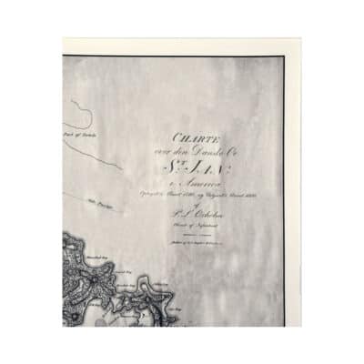
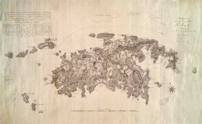
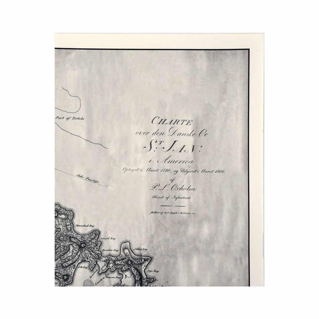
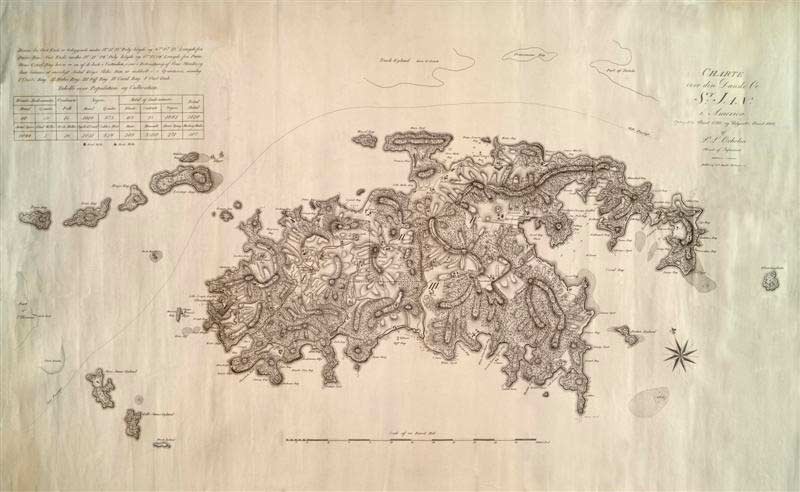
Charte Over Den Danske Oe St. Jan is considered the “first” real map of St. Jan from 1788-1780. This is a nice piece to frame for someone that likes St. John USVI, old maps and history, or to display in an office or library. The map is folded. Dimension: 17 by 28 inches when open. The map includes census information in the top left corner.
About Oxholm Maps: One of the best collections of maps and drawings from the Danish West Indies (what is today the U.S. Virgin Islands) was made by the officer Peter Lotharius Oxholm in the years 1778-1780. The collection contains 32 maps and drawings, including 4 maps from St. John.
Additional information
Weight
.05 lbs
Reviews
There are no reviews yet.
Be the first to review “St. John Historic Oxholm Map” Cancel reply


Reviews
There are no reviews yet.