US Virgin Islands Map
$9.95
In stock
Description
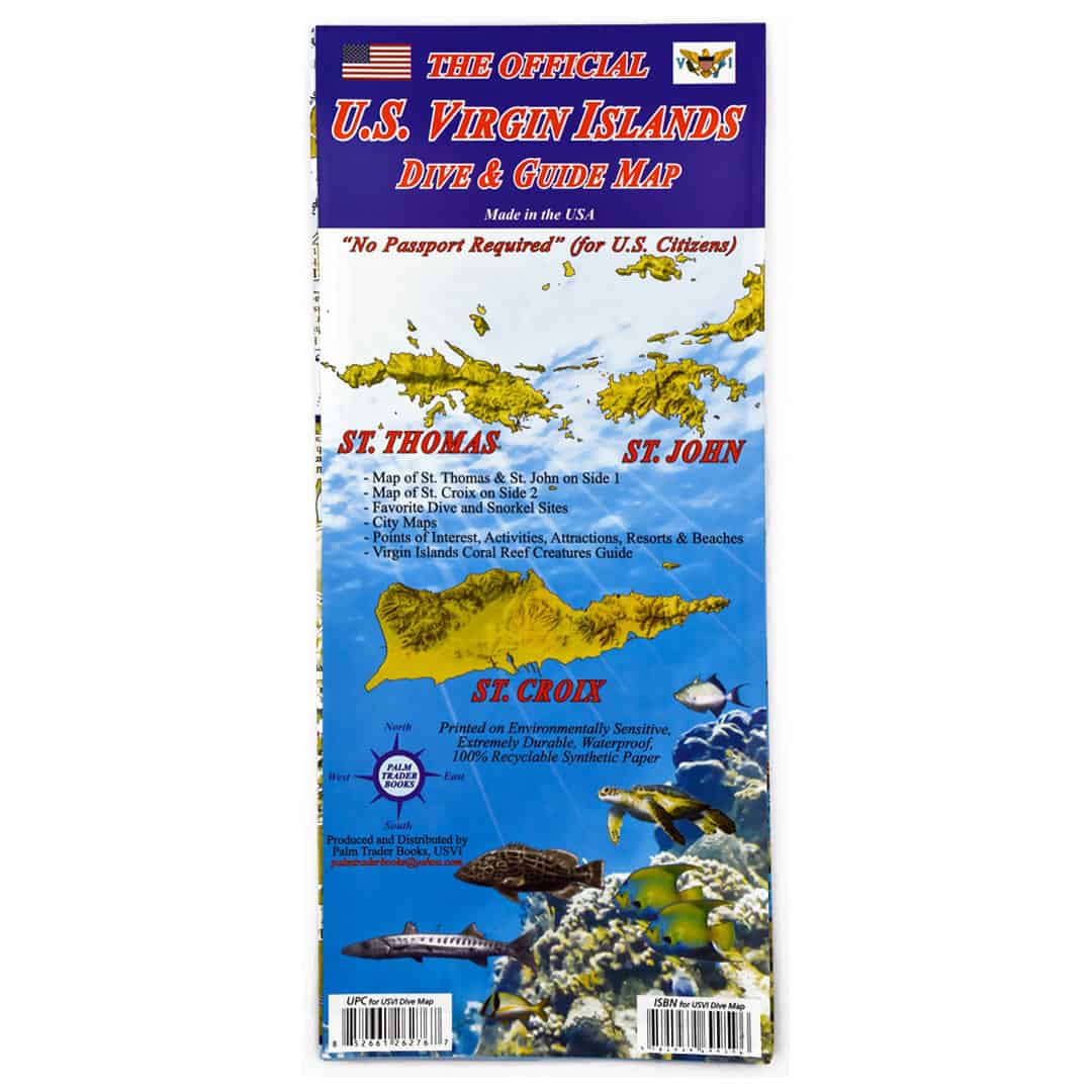
This Virgin Islands map covers the islands of St. Croix, St. Thomas and St. John. On side 1 are maps of St. Thomas and St. John. A close-up map of Charlotte Amalie, the main town on St. Thomas is included. Also included are close-up maps of Cruz Bay and Coral Bay on St. John. On side 2 of this Virgin Islands Map is St. Croix, with close-up maps of Frederiksted and Christiansted.
The maps indicate main roads, beaches, points of interest, and some lodgings. Dive sites are labeled, and short descriptions of the sites are included. Other useful information included is a timeline of key historical events, a weather table with average monthly temperatures, and an identification chart for fish and reef creatures commonly seen while snorkeling and diving.
Material: durable, waterproof paper. Full-color, 2-sided, folding. Map size: 9.25 x 4.5 inches when closed; 18.5 x 26.5 inches when fully opened.
Additional information
| Weight | .1063 lbs |
|---|---|
| Dimensions | 9.25 × .06 × 4.5 in |
You must be logged in to post a review.


Reviews
There are no reviews yet.