- You cannot add "Daily News Centennial Collection Edition" to the cart because the product is out of stock.
$10.00
In stock
Description
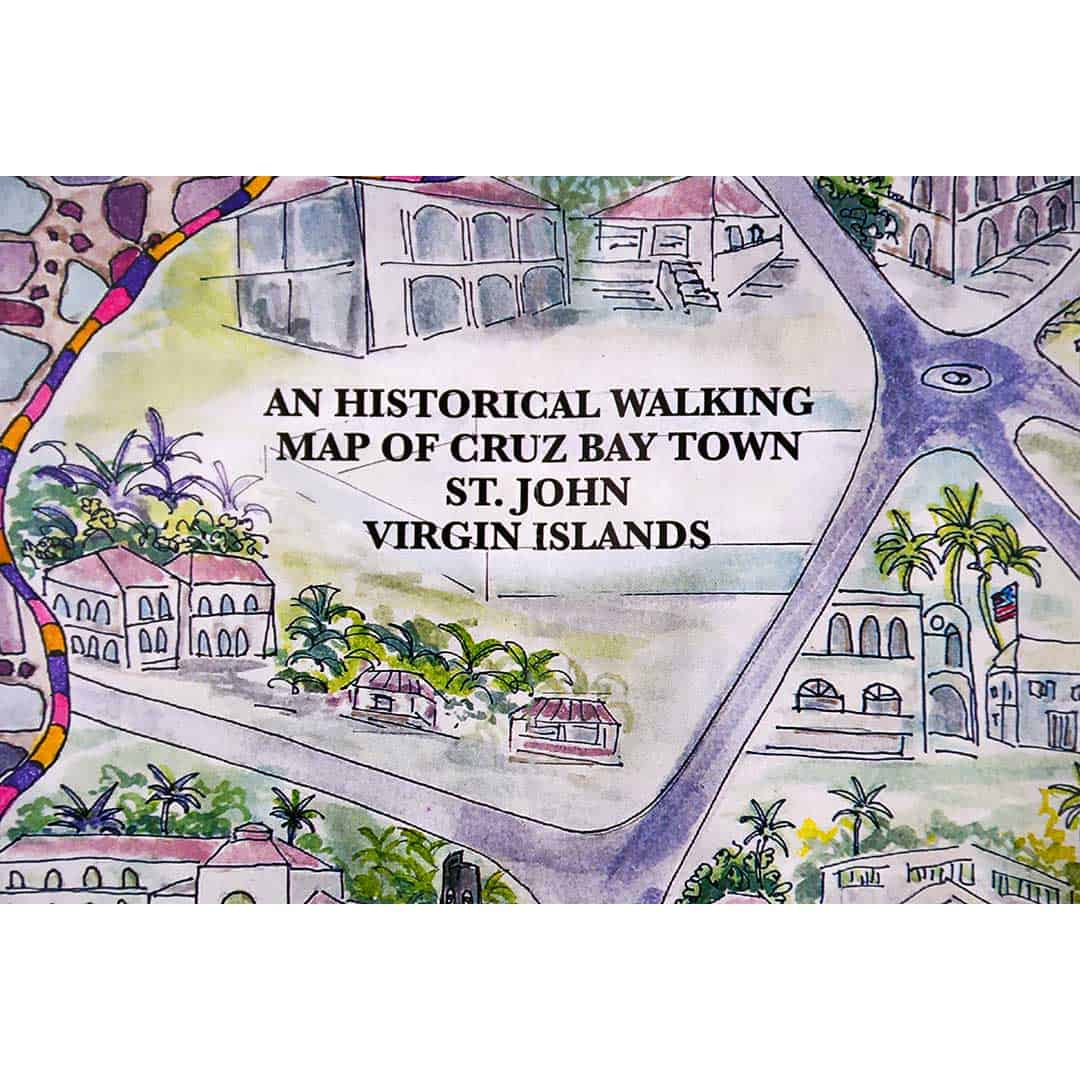
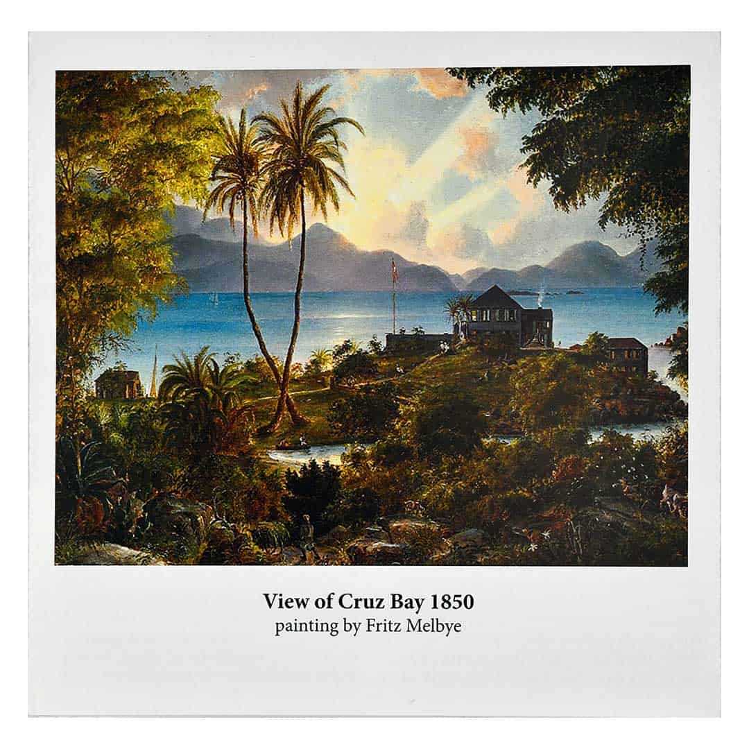
This wonderful folding map offers a self-guided walking tour of historical Cruz Bay, St. John. There are 20 points of interest with short descriptions. An artistic map of Cruz Bay drawn by M. Lisa Etre is included, with the points of interest marked. Also included is a timeline of the establishment of the town of Cruz Bay from 1680 to the present. There are several old photos to help you imagine what Cruz Bay was like 60–80 years ago. Paper map. Size: 12 inches by 18 inches when open, 6 inches by 6 inches when closed. Double sided.
A portion of the proceeds from the sale of this map goes to the St. John Historical Society, a membership-based non-profit organization that serves to document, preserve, and share the history of the island of St. John.
Additional information
| Weight | .0438 lbs |
|---|---|
| Dimensions | 6 × .06 × 6 in |
You must be logged in to post a review.


Reviews
There are no reviews yet.